Due to its short atmospheric lifetime, methane is the second most important greenhouse gas contributing to climate change. But cutting methane has been identified as one of the quickest ways to stop temperatures from rising. There is significant and affordable potential for mitigating active point sources associated with the fossil fuel industry.
Methane plumes are found in remote sensing data. However, current methods have high false positive rates and require human intervention. Machine learning research in this area is limited due to the lack of substantial annotated real-world datasets.
Scientists at the University of Oxford, in collaboration with Trillium Technologies’ NIO.space, have developed an AI tool to automatically detect methane plumes from space on Earth. This AI tool could help identify who the methane “superemitters” are, allowing more efficient steps to be taken to reduce greenhouse gas emissions.
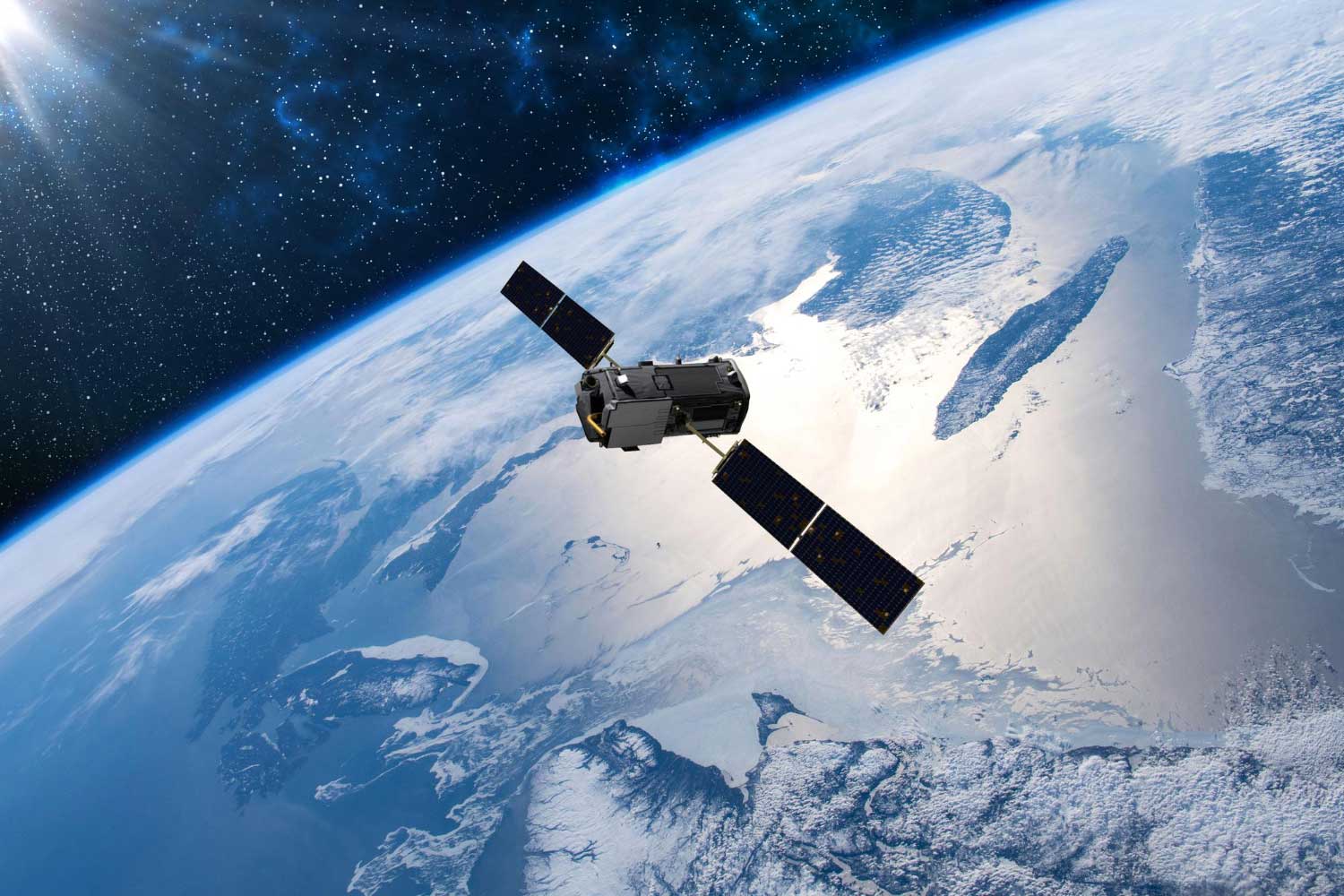
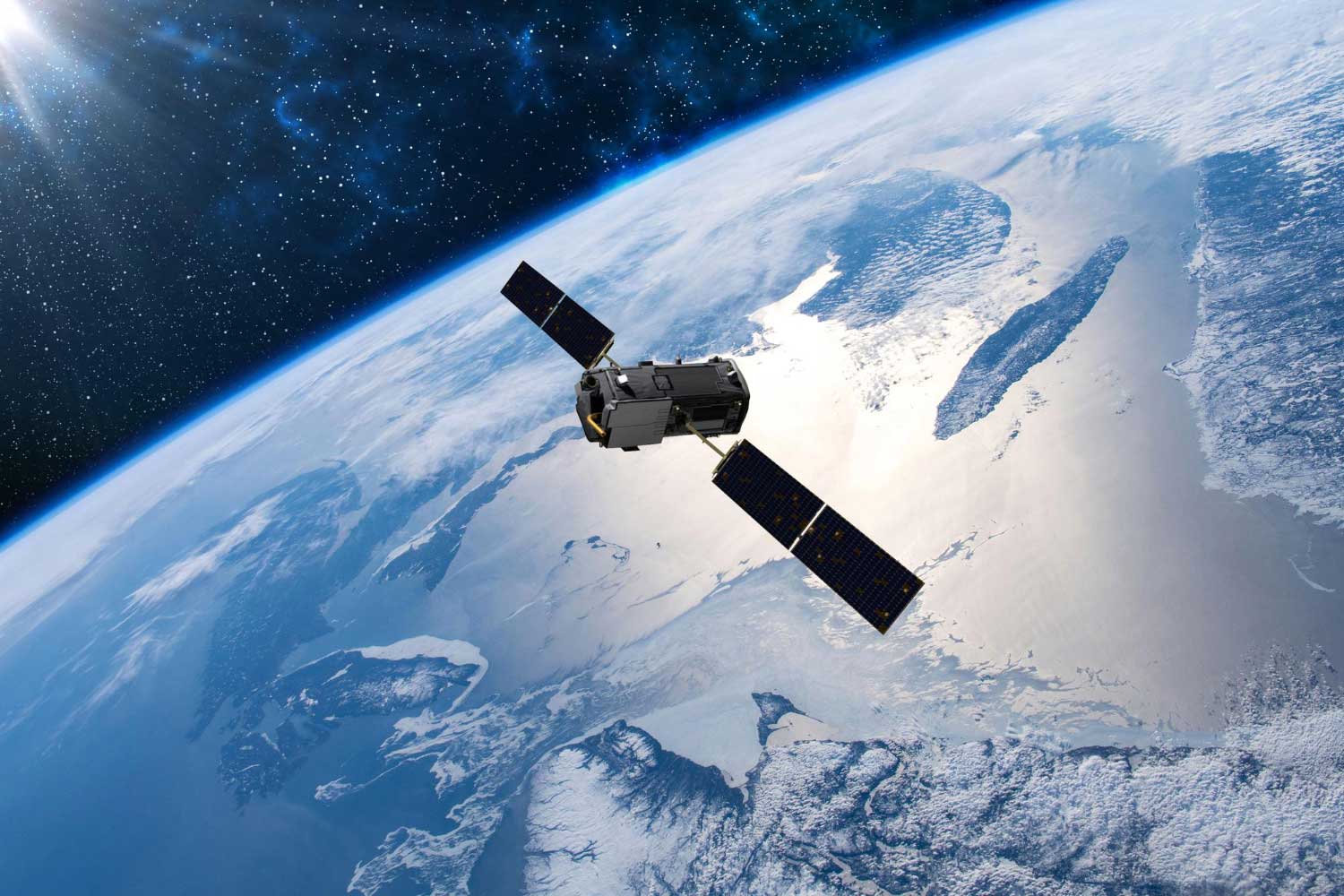
The tool detected methane plumes in data from hyperspectral satellites. Compared to more common multispectral satellites, these satellites have narrower detection bands, making it easier to reduce noise and tune to precise methane signatures. However, the amount of data generated makes it difficult to process it without artificial intelligence (AI).
Scientists trained their model using 167,825 hyperspectral tiles captured by NASA’s airborne sensor AVIRIS over the Four Corners region of the United States. The algorithm was then used to analyze data from additional hyperspectral sensors in orbit, including NASA’s recently launched EMIT (Earth Surface Mineral Dust Source Investigation Mission) hyperspectral sensor. This sensor will be aboard the International Space Station and will cover almost the entire Earth. planet.
The model detected large methane plumes with over 81%* accuracy. This is 21.5% better than the previous best method. Furthermore, compared to the most accurate previous methodology, the false positive rate of our method in tile classification was significantly improved and decreased by about 41.83%.
Principal Researcher DPhil Student Vít Ržička (Department of Computer Science, University of Oxford) Said: “Such onboard processing could initially mean that only priority warnings need to be sent to Earth, such as text warning signals containing the coordinates of identified methane sources. , the swarm of satellites will be able to work together autonomously. The first weak detection will serve as a tipoff signal to other satellites in the constellation, allowing them to focus their imaging devices on the location of interest. I can.”
The scientists have open sourced both the annotated dataset and the code used for the model. GitHub project page. As part of the NIO.space program, they are currently investigating whether this model can work directly on the satellite, allowing additional satellites to perform follow-up observations.
Reference magazines:
- Růžička, V., Mateo-Garcia, G., Gómez-Chova, L. et al. Semantic segmentation of methane plumes using a hyperspectral machine learning model. Sci Rep 13, 19999 (2023). Doi: 10.1038/s41598-023-44918-6
