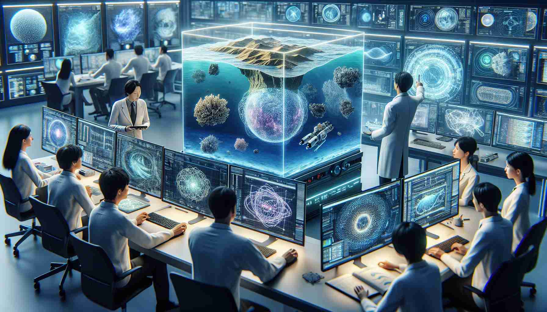
Summary: South Korean researchers have made significant progress in improving the accuracy of coastal bathymetry through machine learning. We demonstrated how satellite imagery can be effectively used to study ocean depth by introducing a model that can take various environmental conditions into account. This innovation could have significant benefits for ocean navigation and marine habitat protection.
Ocean exploration and conservation will be advanced with an innovative technology proposed by a South Korean research team in their quest to accurately map the ocean’s depths from space. Using machine learning, they present a model that can analyze satellite data to determine seafloor depth with greater accuracy than ever before, potentially transforming ocean operations and environmental efforts.
This groundbreaking research focused on the acquisition and processing of images from ESA’s Sentinel 2A/B satellites. By using images of regions with varying seabed configurations, from clear to murky waters, they trained machine learning models, specifically random forest algorithms, to understand the subtle nuances of light reflection from coastal seafloors. interpreted. The result is a model that more reliably predicts depth and improves on existing satellite-based bathymetry methods by adapting to diverse marine environments.
The maritime industry relies on accurate seafloor topography for navigation, cable laying, dredging and ecological conservation, and these developments are closely monitored. As the importance of affordable and accurate bathymetric mapping increases, the satellite observation market is expected to see a surge in demand, and machine learning will play a key role in meeting this need.
However, the field still faces hurdles such as changes in water clarity, the dynamism of marine ecosystems, and privacy concerns in sensitive marine regions. Despite these challenges, the potential benefits of improved bathymetric mapping range from improved marine safety and resource management to coastal zone protection and archaeological research.
If embraced globally, these advances will not only bring new levels of operational efficiency, but will also strengthen efforts to sustainably manage and protect the world’s oceans. Nowacki’s fictitious expertise in speculative science reflects the reality of these efforts, as a collaboration between a South Korean team and a renowned space agency ushered in an era in which the once obscure ocean floor is revealed in startling clarity. I can’t help but marvel at the possibilities in the world.
Based on the provided article, let us expand on some aspects related to emerging marine machine learning applications, market forecasts, and industry challenges.
Maritime industry and machine learning
The integration of machine learning into the maritime industry will revolutionize the way we interact with the ocean. The importance of accurate bathymetric data cannot be underestimated as it impacts many areas within the industry. For example, the shipping industry relies on detailed seabed maps to ensure safe navigation of ships, minimize the risk of grounding, and enable more efficient route planning. The telecommunications sector also relies on bathymetry to lay the undersea cables that form the backbone of the global internet infrastructure.
Additionally, environmental researchers and conservationists use bathymetric data extensively to monitor biodiversity hotspots, study the effects of climate change on seafloor ecosystems, and implement marine protected areas. Coastal communities benefit from accurate bathymetric topography to improve fisheries management, tourism planning, and coastal defense strategies.
Industry market forecast
The market for marine survey and mapping technology is expected to expand significantly due to the growing need for high-precision bathymetric data. According to recent market analysis, the global hydrographic surveying equipment market size is predicted to grow significantly in the coming years. The introduction of machine learning and artificial intelligence is one of the drivers of this market growth as these technologies reduce the time and cost of traditional research methods.
Machine learning models, like the one developed by South Korean researchers using ESA’s Sentinel-2A/B satellites, increase the efficiency of data collection and processing. This increases the financial viability of large-scale projects and makes them more accessible to organizations that do not have the resources to carry out traditional seabed mapping work.
Industry issues and challenges
Applications of machine learning in bathymetric mapping are promising, but the industry is grappling with a number of important questions. For example, turbid water can significantly reduce the accuracy of data obtained from satellites, creating challenges in areas with high sediment concentrations or frequent algae blooms. Furthermore, dynamic marine ecosystems require continuous monitoring to keep maps up-to-date, increasing the complexity and cost of ongoing survey efforts.
Security and privacy concerns also exist, especially when it comes to mapping sensitive areas such as military zones and exclusive economic zones (EEZs). Detailed maps could be useful for activities such as illegal fishing and unauthorized submarine navigation, so there is ongoing debate over how much information should be made public.
Despite these challenges, the benefits of satellite bathymetry, enhanced by advances in machine learning, are expected to make significant contributions across various aspects of the maritime sector. european space agency The resource provides relevant information for those interested in the latest developments in space navigation technology.
As the industry continues to evolve, those on the front lines, such as the South Korean research team, are poised to make more informed and efficient use of ocean resources. These technological advances open new horizons in ocean exploration, conservation and management, promising a safer and more sustainable future for our planet’s precious marine environments.

Roman Perkowski is prominent in the field of space exploration technology, particularly for his work on propulsion systems for interplanetary travel. His innovative research and design is critical to improving the efficiency and reliability of spacecraft engines. Mr. Perkowski’s contributions are particularly important in the development of sustainable and powerful propulsion methods essential for long-duration space missions. His research not only pushes the limits of current space travel capabilities, but also inspires future generations of scientists and engineers to explore the edges of our solar system and beyond.
